The honest take on driving for the view
Curacao is about 60 km long, so nothing here is a long road trip. What it does have is variety: a colonial harbor city, salt pans with flamingos in them, a chain of cliff-backed bays, and a north coast that faces open ocean and looks nothing like the resort strip.
Four routes are worth driving for their own sake. Each takes between one and three hours with stops, and you could fit two into a day. A regular rental car handles all of them, with one steep detour that is more comfortable in something with clearance.
The constraints are the same everywhere. Fuel stations cluster around Willemstad and thin out heading west. Rural roads are unlit. Goats and donkeys stand in them. Plan to be off the western roads by dusk.
The Westpunt run and the north coast
This is the main event. From Willemstad the road runs north-west through Soto and Sabana Westpunt to the top of the island, roughly 45 km and 45 to 60 minutes each way. The landscape shifts from suburbs to cactus scrub to limestone hills.
Stop where the bays are. Playa Lagun sits in a cleft between two cliffs about 45 minutes out. Grote Knip and Kleine Knip are near the top, about 50 to 60 minutes from the city. Playa Piskado at Westpunt is the fishing beach where green turtles come in.
Shete Boka National Park sits on the north side near Westpunt, where the ocean drives into a line of inlets and the spray comes back up through the rock. It has two hiking trails and two car routes, and the car routes are loose gravel rather than tarmac. The park has been open 9am to 5pm with no admittance after 4pm.
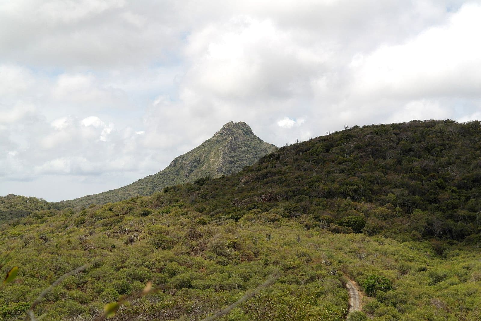
Christoffel National Park is next door. Its main driving circuit is largely paved, narrow, winding and steep on the inland side. Entry has been $15 for adults as of our last check, the park takes its last entries in the early afternoon, and the summit route opens at 6am with no admission to the mountain after 10am.
Done properly this is a full day, not an afternoon. Leave early, fill the tank in Willemstad, and treat the drive back as the part where the light is best.
The Sint Willibrordus loop and the flamingos
The shortest route with the biggest payoff. Head west out of Willemstad and turn off towards Sint Willibrordus, roughly 30 minutes from the city.
The salt pans around Landhuis Jan Kok are the reliable place to see flamingos in Curacao. The birds feed in the shallow salinas that once produced salt for the Dutch herring trade, with the white church of Sint Willibrordus behind them. Stay in or beside the car and use a long lens; walking towards them moves them off.
Landhuis Jan Kok itself is one of the oldest plantation houses on the island, rebuilt in 1840 on a site occupied since around 1705, and now houses an art gallery. It is a short stop rather than a half day.
Playa Porto Mari is ten minutes further down the same road, so the natural version of this loop is flamingos in the morning light and the beach afterwards. Cas Abao is a similar distance on the next turning north.
Total loop from Willemstad and back, with a swim: two to three hours. All paved.
Santa Martha Bay and the Soto detour
Santa Martha is the deep inland bay on the west coast, near the village of Soto, roughly 32 km from Willemstad. It is an easy detour off the Westpunt road rather than a separate trip.
The lookout above the bay is reached by a narrow climbing road out of Soto. The view is the whole bay ringed by green hills with the open sea beyond it, and it is one of the two best inland views on the island alongside the one from Christoffel.
The climb is the one bit of this guide where a low sedan is uncomfortable. The surface has been rough and the road is steep and winding. It is doable slowly in a normal car; it is more relaxing in something with a bit of clearance.
Go late. This lookout faces the right way for sunset, and it is only twenty minutes off the road home from Westpunt.
East to Caracasbaai and Spanish Water
The counterweight to all the western driving. Head east out of Willemstad along Caracasbaaiweg and you reach Caracas Bay in about 15 to 20 minutes, past Jan Thiel.
Fort Beekenburg stands on the headland at the end, built in 1703 to guard the entrance to Spanish Water behind it. Admission is free, parking at the old docks below is free, and the view takes in both the bay and the inland lagoon.
Spanish Water itself is the sheltered inlet where most of the island's boats live. The roads around its edges pass marinas and quiet residential water frontage, which is a completely different Curacao from the north coast.
One warning: the road out to Caracas Bay has been notably pothole-heavy. Take it slowly. It is a short drive and there is nothing to gain from speed.
Crossing the Queen Juliana Bridge
Not a route, but worth doing deliberately once. The Queen Juliana Bridge carries four lanes of the Schottegatweg over the entrance to Sint Anna Bay and is the only way to drive between Punda and Otrobanda.
It is around 500 m long and stands about 56 m, roughly 185 feet, above the water so ships can pass beneath into the harbor. It opened on 30 April 1974 and is the highest bridge in the Caribbean.
Cross it in daylight and look right. Below you are the Handelskade waterfront, the Queen Emma pontoon bridge and whatever ship happens to be entering the bay. It is the single best view of Willemstad available from a car.
There is nowhere safe to stop on the bridge, so this is a look-and-keep-driving stop. If you want the photograph, the Rif waterfront or the Otrobanda side of the harbor gives you the same scene standing still.
Practically, the bridge is also the bottleneck. Everything between the two halves of the city crosses it, and it slows down between roughly 7am and 9am and again from 4pm to 6pm on weekdays. Add fifteen minutes if you are driving to a flight in those windows.
Practical points for any of these drives
Fuel stations are attended. An attendant fills the tank and you pay at the pump or in the kiosk. Prices are posted in Caribbean guilders per liter, and dividing by 1.79 gives you the rough dollar figure. Cash is more reliable than cards at the smaller rural stations.
Fill up before you head west or north. There is very little between Westpunt and the parks and nothing inside them.
Rural roads are unlit and the drop at the edge of narrow roads is sometimes real. Goats graze on the verges and step out without warning, and they are hardest to see at dusk. Being back on lit roads before dark is the single best habit to adopt here.
Download the offline map before you land. Google Maps covers Curacao well including the small beach roads, and most local rental agencies answer WhatsApp faster than the phone if something goes wrong.
Budget more time than the distance suggests. Every one of these routes is better with stops, and the stops are the point.
Compare rental cars from local Curacao agencies and plan your route.
Compare car rentals now →